The trail starts next to a map kiosk in the day use parking lot, which is before the campground loop. Park here and the trail curves around to a nice bridge over Two Lick Run after 100 yards.
The Two Lick Trail then crosses another bridge before gradually climbing the mountain through open hardwoods.
After only a mile, the Two Lick Trail intersects with the other end of the Two Lick Bottom Trail. You could take this back for a really short loop, or keep going on the Two Lick Trail for more ascent and a longer loop.
I kept ascending. The trail was wonderful for its solitude and late summer vegetation.
Unfortunately, all the climbing really didn't pay off. The trail never summited the mountain - which would have had me at the state border. Instead it turned and rode the ridge below the summit. I think this is because, back when the trail was originally constructed, there was a road at the ridgetop, and it was decided to keep some distance from the road. But it means there wasn't much of a view, other than the limited view shown below, reached at the 2.4 mile mark, just after the high point on the hike.
 |
| The only view. |
 |
| The trail hugs the side of the slope at its highest point. |
On the way back down, the trail crosses an old woods road, which the USGS topo map indicates continues up the mountain to the road on the summit. But the old road bed was overgrown with late summer vegetation. It did not look like anyone uses this route.
 |
| The trail goes under a massive Chestnut Oak. |
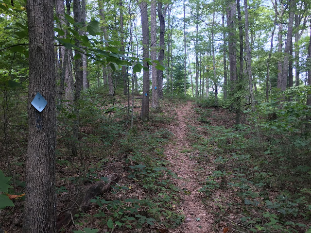
The trail was in nice shape - very well maintained and generally was prolifically blazed with plastic blue diamonds. In fact the photo below had me thinking whether someone was paid by the diamond - there is no way to lose the trail here, with three diamonds over a space of 25 feet!
The campground is a pretty spot, with nine sites, pit toilets and waste cans. The hand pump looks disabled, so there appears to be no water available here. The Blue Bend Campground, also in the national forest but about a half hour south, is a superior choice for a weekend adventure. It also has a five mile loop trail (into the Big Draft Wilderness), has showers and flush toilets, river swimming, picnic shelters, and access to the nearby Greenbrier River Trail for biking.


OH MY GOD. This place is so awesome so unique. I really love this kind of places and I really want to visit this place as soon as possible.. !!
ReplyDeleteit seems a very adventerous trip to two lick trail. Following the trails and going to that path seems amazing. hiking is one of the best part of this trip and ofcourse the view is great.
ReplyDelete